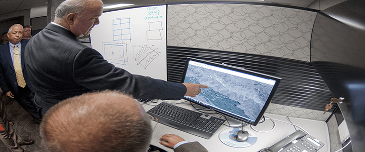
You may have never heard of the National-Geospatial Intelligence Agency (NGA), but if you’ve ever used your cell phone to find your way in an unfamiliar area, you’ve used their technology. The NGA is the lead federal agency for geospatial intelligence. Their work involves everything from locating targets and providing strategic intelligence to supporting warfighters and disaster relief.
The agency was founded in 1996, but traces its roots all the way back to Lewis and Clark, the first cartographers of what we now call the United States, as well as various governmental and military map agencies over the centuries. The NGA has transformed over the years to become an agency we rely on heavily. Here are a few interesting facts about this agency and the important work they do.
They don’t just map the Earth
While maintaining detailed maps of Earth is critical to the NGA’s mission, it maintains maps of the sky as well. One of its predecessor agencies, the U.S. Air Force’s Aeronautical Chart and Information Center, used cartographers to create detailed maps of the moon. These maps played a critical role in the Apollo 11 mission and the U.S.’s ability to safely land a man on the moon.
They recruited women to fill employment gaps during WWII
Early in World War II, the Army Map Service saw increased demands for map-making and the associated intelligence. At the same time, their staff was increasingly being recruited to serve in the armed forces. As a result, they worked with the University of Chicago’s Geography Department to create a course in map making. This 60-hour course was then distributed to women’s colleges across the US. These “Military Mapping Maidens” played a critical role in mapping strategic locations across Europe using foreign maps and aerial photos.
You can access some cool stuff using NGA resources
While much of the work the NGA does is classified, civilians have access to some tools and information from the NGA. Open source software on GitHub, print on demand maps, and declassified satellite imagery are just a few of the resources available through their products and services page.
They’ve helped monitor the crisis in Ukraine
The NGA has had their eye on Ukraine since Russia annexed Crimea in 2014. They’ve used their abilities to keep an eye on the region, and partnered with others in the intelligence and defense community to learn more about the region and terrain. Since February of 2022, the NGA has increased access to satellite imagery for both the US, Ukraine, and other allies.
Timing is everything
Have you ever thought about the delicate balance between space and time and the importance of maintaining exact records to ensure the entirety of mankind is aligned? Yeah, me neither, but the folks at NGA have! Leap seconds occur every two to three years. While most of us won’t notice the extra second on June 30 or December 31, timing systems around the world are adjusted when needed. This extra second is incredibly important because the NGA’s mission navigation relies on time and precisely calculating the rotation of the earth in order to accurately navigate their missions.
The NGA provides invaluable support to not only the U.S., but to allies around the world, as well as NGOs. Their unique mission provides information to people who need it when they need it most, and their support over land, sea, air, and space is critical to supporting defense at home and abroad.


